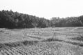
撮影日:昭和32年6月16日(午後3時~5時半)
小金から東に2km程度の場所です。
「酒井根」の旧表記「境根」は、分水界にある郡境を表していたと言われています。
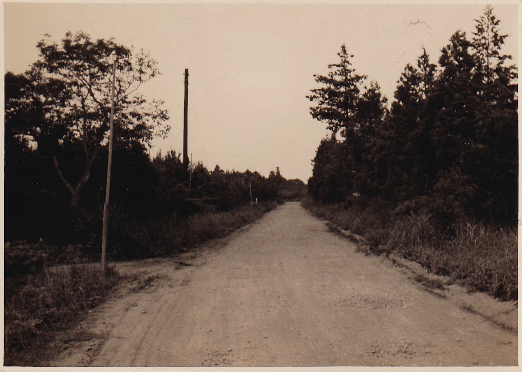
1枚目の写真は、現在の千葉県道280号(白井流山)線です。根木内を背にして増尾方面に向かって撮られたもので、進行方向左手が光ヶ丘団地です。当時は、道の左右に広がっていた松林でハツタケ(初茸)を採ることができたそうです。
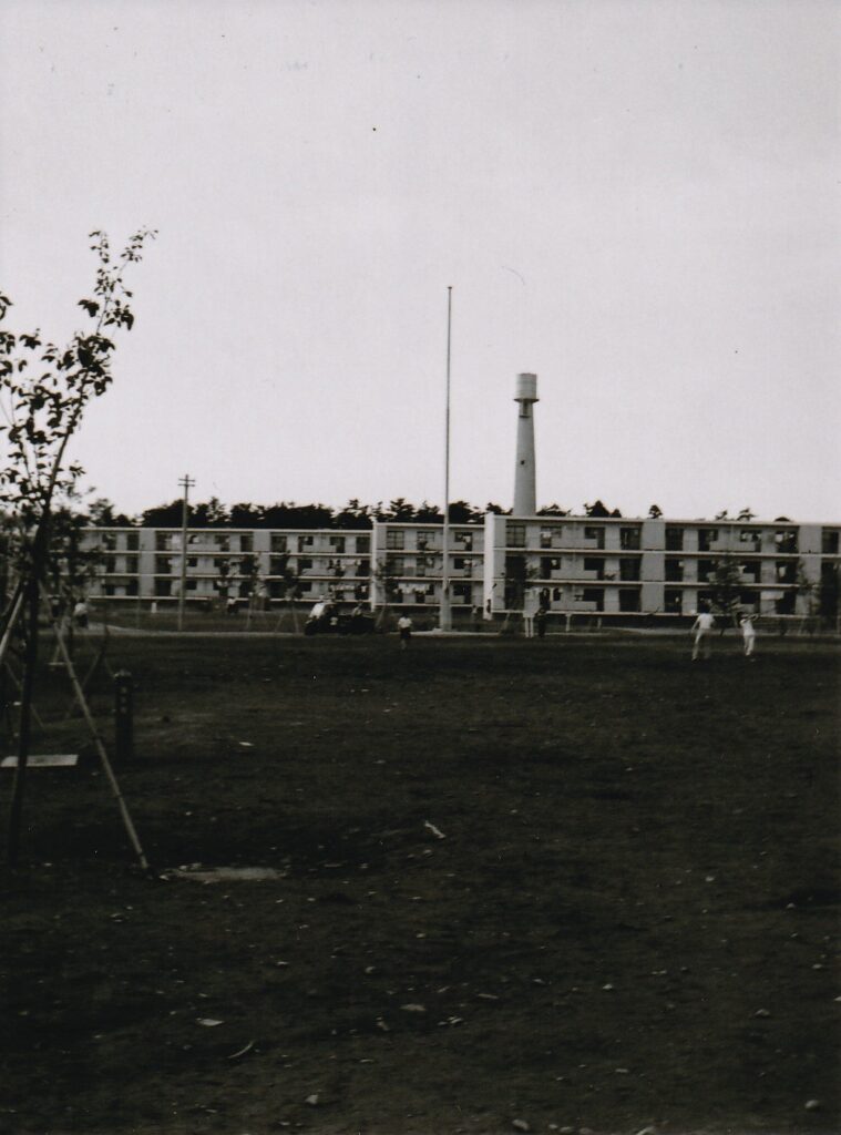
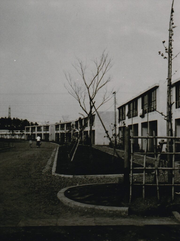
残りの2枚は、できたての光ヶ丘団地です。
参考:柏市のホームページに光ヶ丘団地を含む当時の団地の情報が載っています。
Date taken: June 16, 1957 (3:00-5:30 p.m.)
Approx. 2km west from Kogane.
It is said that the Chinese characters for “Sakai-ne” used in the past indicated the border of the counties at a watershed area.
The first photo shows the road that is now Chiba Prefectural Road No. 280 (Shiroi-Nagareyama line). It was taken toward Masuo (with back to Negiuchi). On the left in the direction of travel was the brand new Hikarigaoka housing complex. At that time, people were able to gather hatsutake mushrooms in the pine forests that spread out on both sides of the road.
The other two pictures are of the public housing.
Reference: Kashiwa City’s website has information on apartment complexs of that time including Hikarigaoka-danchi.
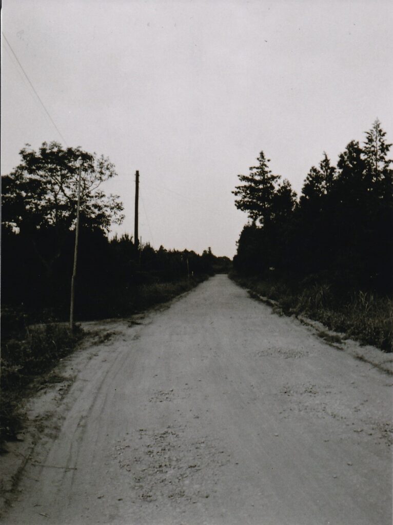
I took the photo closer to the intersection (little east) than the 1957 one to include landmark buildings and signs.
コメント