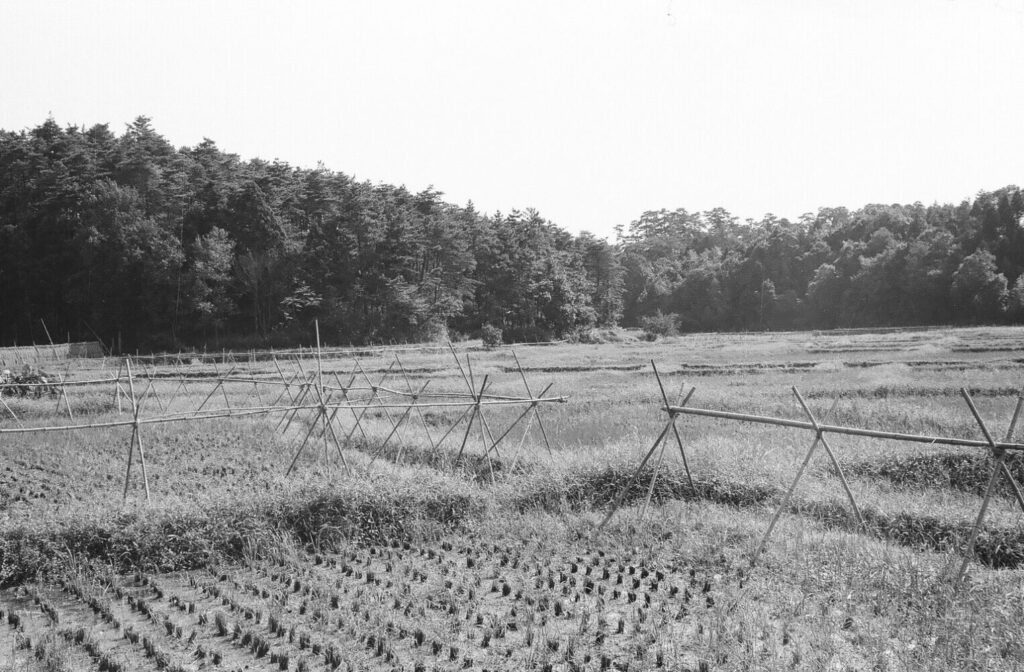

[上の写真]
現在、小金清志町会館がある辺りから南(やや南東)を向いて写したものです。
左側の森が通称「さんのんやま」(上総内日枝神社)です。右側の森は現在の関さんの森に続いています。
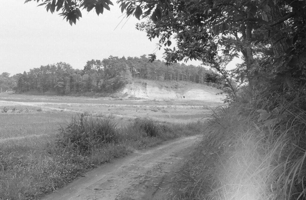
[真ん中の写真]
白く見える道は、「さんのんやま」の土取りで採取された山砂を使って作られました。
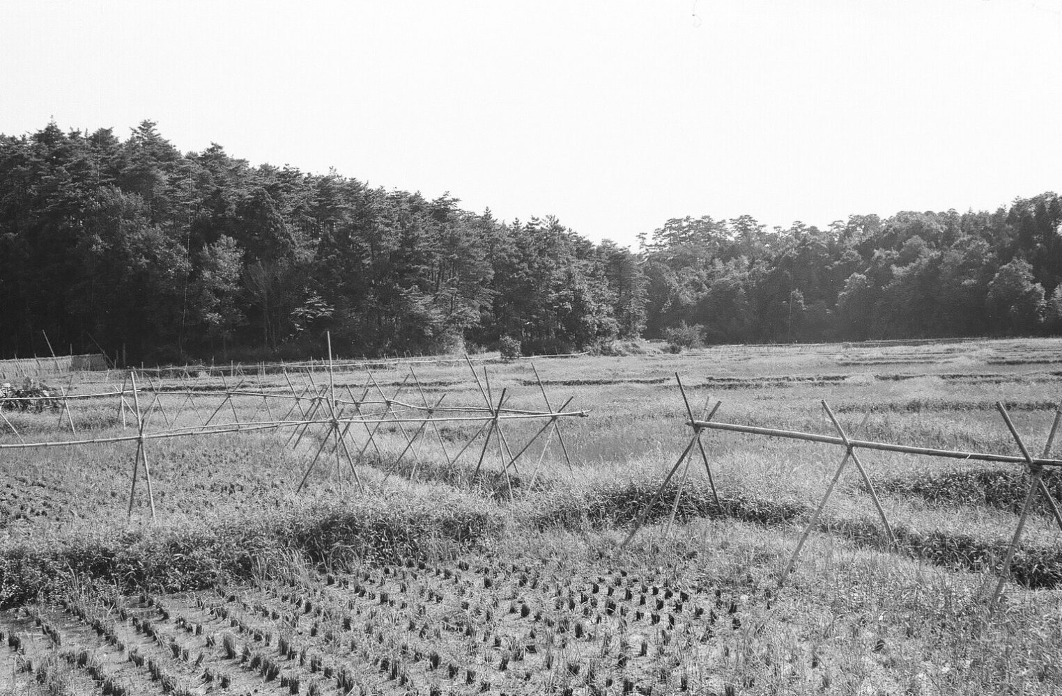
[下の写真]
現在の松戸市立小金小学校附属幼稚園の裏辺りから撮影したものです。大まかに言うと、右側が宅地化後に小金清志町になった一帯です。
[ Topmost photo ]
This photo was taken looking south (slightly southeast) from the area where the Koganekiyoshi-cho Hall is currently located. The forest on the left was commonly known as “San-non-yama”. The forest on the right led to the present Seki-san’s forest.
[ Middle photo ]
The whitish paths were made by using the mountain sand collected from the “San-non-yama”.
[Bottom photo]
This photo was taken from around the back of the present Kogane Elementary School attached kindergarten.
The area on the right side was named Koganekiyoshi-cho after the land was converted to housing.
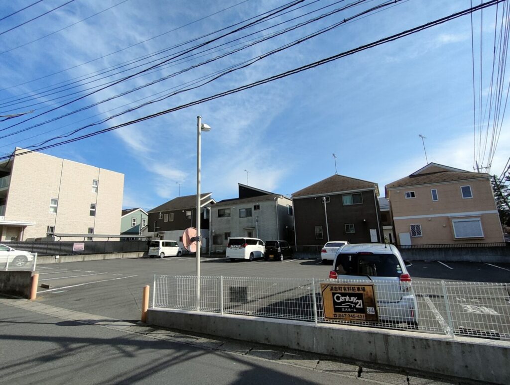
From the location in the 1st photo above, all you can see now are residences.
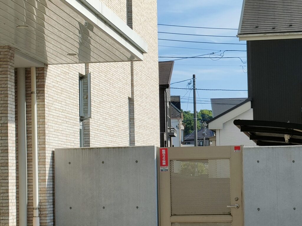
Moving a little to the east, you can catch a glimpse of the remaining forest.
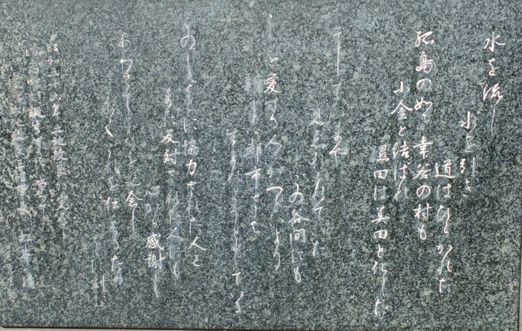
Stone monument inlaid into the exterior wall of the Koganekiyoshi-cho Hall
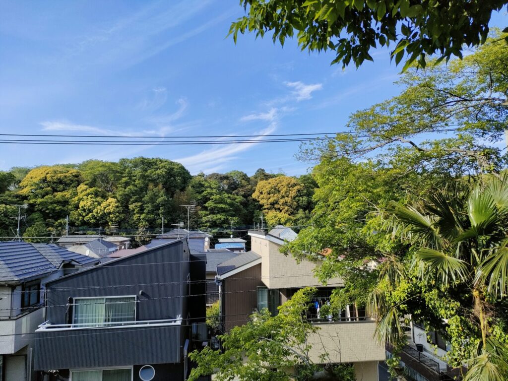
The mountain behind the elementary school seen from the north side of Sanno Park (trees are growing so thick!)
平成5年5月 May, 2023
小金清志町会館前の石碑には「… 昭和36年土地改良が完了し清志町が誕生 …」と記されています。The monument reads, “… In 1961, the land reform was completed and Kiyoshi-cho was born…”


コメント